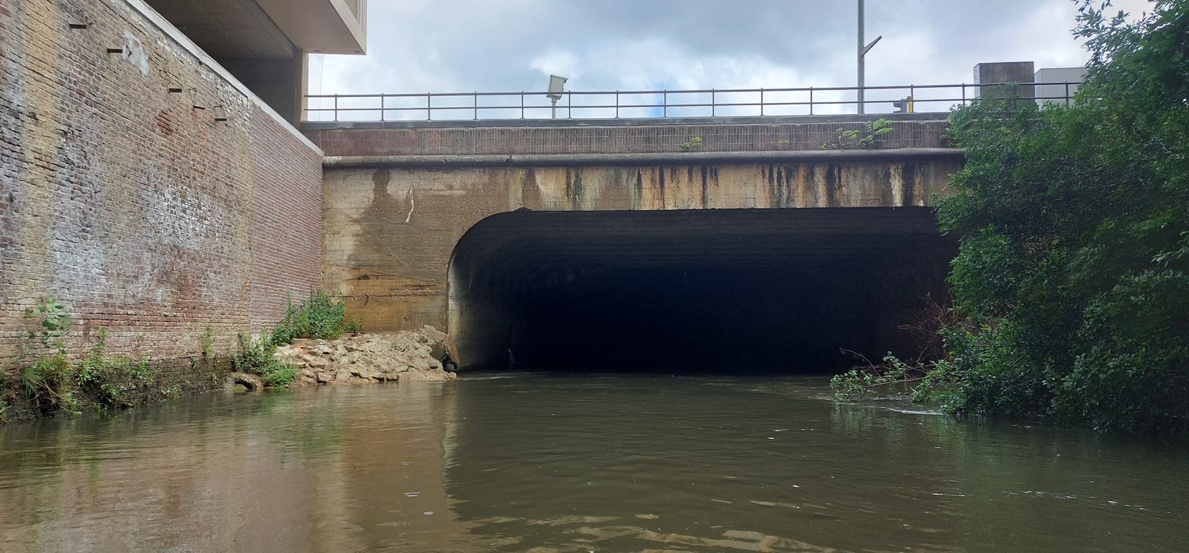
AWV - Inspection of the Dijle River Culvert in Leuven
What did we do:
This project involves an inspection of the Dijle River, which flows under the Ring of Leuven and the AB InBev premises in a 300-meter-long culvert. This culvert is under the management of the Agency for Roads and Traffic. Due to its considerable length and difficult accessibility, little was known about the exact course and condition of this culvert.
SkyeBase applied an integrated approach, using both visual inspection and Lidar survey to comprehensively capture and map the culvert.
Through visual images, the construction and condition of the culvert components could be accurately mapped and documented. This provides the client with a clear overview of connections and any defects in the culvert. Thanks to the 360° videos, the client can also virtually navigate through the culvert, gaining a thorough understanding of the situation.
The Lidar point cloud obtained during the inspection offers detailed information that can be utilized by draftsmen to develop CAD drawings. These drawings are valuable for further analysis and planning.
The generated drawings and inspection reports enable the client to have a comprehensive understanding of the current state of the culvert. This allows the client to make informed decisions regarding future maintenance works, including planning and budgeting for these activities. In summary, the combination of visual inspection, Lidar survey, and advanced analysis provides a comprehensive foundation for efficient management and maintenance of the infrastructure.
Share on social:


