
The Watergroep - Water Tower Temse
Our achievement:
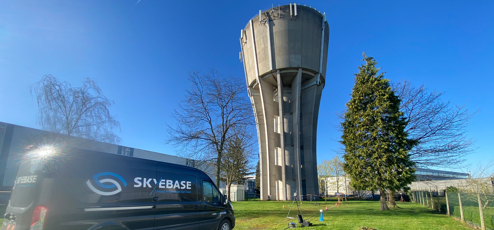
As part of a project, The Watergroep approached us for the visual inspection, using a drone, of a water tower in Temse. The goal of this project was to combine and compare various techniques, both for inspecting the water tower and for creating a 3D model.
Different methods were applied, namely photogrammetry and Lidar scans, to generate a comprehensive 3D model. This not only provided insight into the condition of the water tower but also served as a basis for further analysis and maintenance planning.
The composite 3D model was created by combining data obtained from photogrammetry and Lidar scans. This approach allowed us to compare the advantages and disadvantages of both techniques. The 3D model offered the opportunity for detailed measurements and annotations of any damage to the water tower.
To ensure the accuracy of the point clouds, a certified land surveyor was engaged. The results of this verification confirmed that the 3D models provided an extremely accurate representation of the water tower.
This detailed approach yielded valuable information, including measurements and annotations of damage to the water tower. The results of this pilot project will be analyzed by The Watergroep and used to plan and execute more efficient maintenance of their assets in the future.
This project highlights the importance of advanced technologies such as photogrammetry and Lidar scans combined with drones in inspecting and maintaining crucial infrastructure, such as water towers. It illustrates how these techniques can make a valuable contribution to the management of water-related assets.
Share on social: