Methane inspections
in the outskirts of Brussels
what did we do:
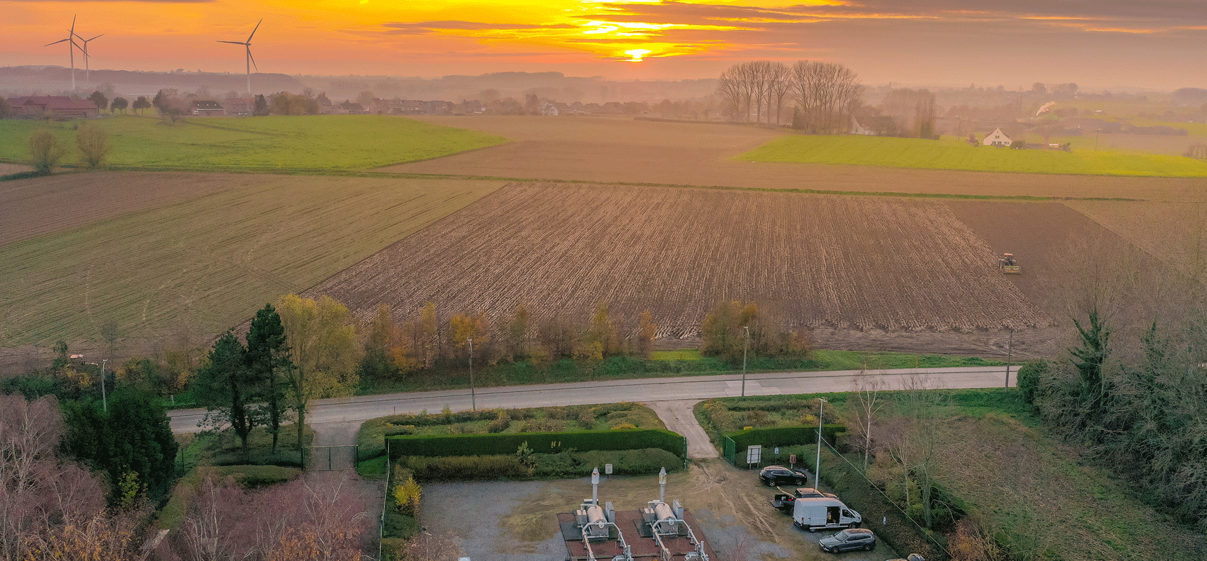
High pressure gas pipes are inspected by helicopters which is useful for long distances and open areas. In urban, forestall and wet areas it’s hard to capture methane leaks with helicopters. By using a drone data capture can be done closer to the surface and more accurate data can be captured. The captured values are put in ppm and plotted on google maps so the exact location of the leak can be found. Each measurement value is accompanied by a GPS coordinate so that the exact location can be identified for urgent interventions. A report can be drawn up immediately after the inspection so that no time is lost in case of emergencies. The reporting of the inspection can be delivered via PDF, our interactive platform or Google maps.
Share on social:
Keywords: gas pipe inspection, gas pipe assessment, methane leaks, drones, google maps, ppm, digital platform


