Our realization:
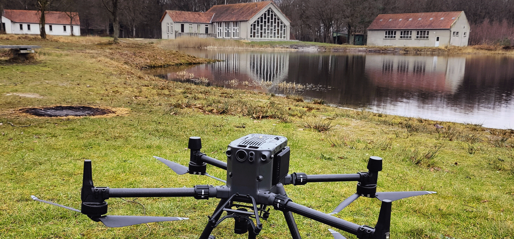
For Kena, an organization that organizes events for young people, SkyeBase used an outdoor drone to prepare an orthophoto of a site. This photo to scale is a valuable tool for a variety of purposes, including making plans for future renovations and organizing events.
By using advanced aerial photography technologies, SkyeBase has created a detailed and accurate image of an entire terrain. This orthophoto provides a bird’s eye view of the area and provides a realistic representation of the environment to scale.
In addition, the orthophoto will also be used to organize games and activities for the children attending Kena’s camps. By incorporating the photo into their programs, they can provide an interactive and educational experience.
SkyeBase is excited to contribute to Kena’s work and support them in achieving their goals.
Share on social:
Keywords: drone mapping
© 2020 – 2024 skyebase | privacy policy | cookie policy | developed by Nine Concepts BV
